


Datagate
by Patrick – 2 great comments. Room for one more!
It’s the WikiLeaks of Toronto!
Well, almost. Kinda. Not really. But still neat.
The Open Data (http://www.toronto.ca/open/), project recently announced that it was putting raw data sets online so you can check the veracity of City Hall’s statistics for yourself.
From my very quick and cursory looksee, it’s chockfull of the daily drudgery of running the city, so I don’t see it being turned into a movie anytime soon. But who knows what interesting factoids some dedicated analysis might turn up.
I should mention that this data appears to be a direct database dump, meaning it doesn’t come with any nice viewing / searching interface – it’s just raw data. There’s a brief explanation of all the possible formats here: http://www.toronto.ca/open/glossary.htm
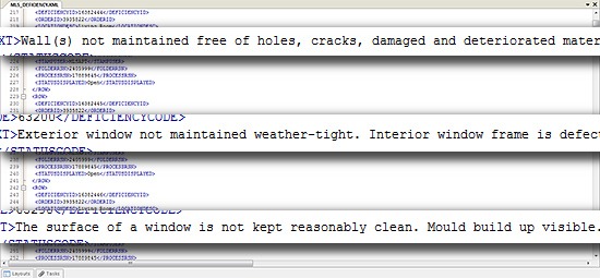
Some of it is XML-formatted which means you can open it with anything that edits basic text (Microsoft Word, OpenOffice Writer, Windows Notepad, Mac TextEdit, etc.), as well as most modern web browsers (just drag the XML file into an open browser window). Also, you should be able to import XML data into spreadsheet software like Microsoft Excel or OpenOffice Calc which should make it easier to read.
However, despite looking complex, XML data (especially the Open Data ones), is actually pretty simple to understand in its raw state.
The Open Data site also offers alternate data sets like JSON (JavaScript Object Notation), and CSV (Comma-Separated Values) – it’s the same information that should be in the XML files, just in a denser and less human-friendly format.
I haven’t had much success with ESRI Shapefiles, a common informational map format found on the Open Data (and other sites), but I’m sure you can dig up something to view them if you’re determined.
Besides this, the site offers web services which are essentially the same data that’s available for download, but for web applications through a special URL like “http://map.toronto.ca/servlet/com.esri.wms.Esrimap?ServiceName=CityGeoSpatial”. Kinda fun for web developers, for building things like blog widgets, but not terribly useful if you’re just browsing.
Currently available for Toronto, Ottawa, Edmonton, and Vancouver.


December 8th, 2010 5:12 pm
Patrick, would this raw data tell us how each city counselor voted on key issues? will it help citizens better participate in local government ? on some level? I'm keeping my eye out for the first dna strands of technocracy.
December 9th, 2010 6:48 am
I doubt it, Smojoe. At least not the data sets that I saw online, though there's no reason why council votes couldn't be put there either. There is, however, a live service where I recall seeing vote results: http://app.toronto.ca/tmmismonitor/index.do … and there's also a Twitter feed you can follow if you like it a bit more immediate.