


Sunday on Saturday (spring in winter edition)
Posted on February 14th, 2026 – Comments Off on Sunday on Saturday (spring in winter edition)We seem to be approaching the 6-month mark since the previous installment so, ladies and gentlemen, without further adieu I bring you a bespoke version of the most elegant:
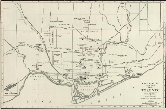
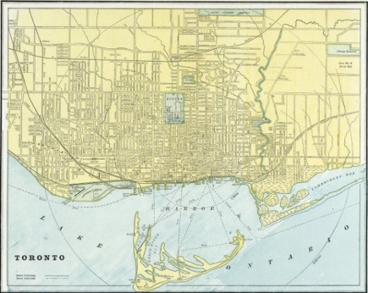
Toronto Sunday World, 21st of May, 1922
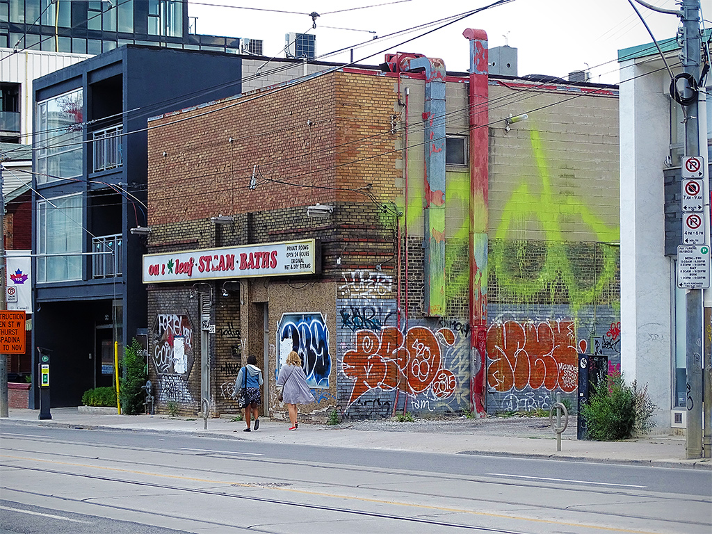
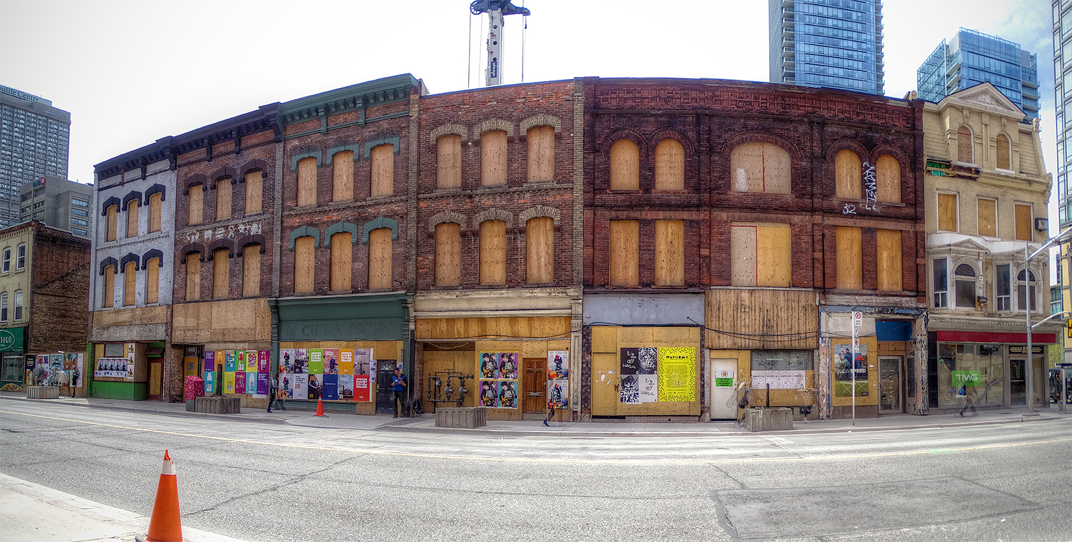
Despite its obvious advances in everything from fashion to medicine, one may perhaps be tempted to dismiss the Toronto of over a hundred years ago as an inconsequential anachronism in the context of the modern metropolis. For example, one may point to the seemingly ubiquitous springtime intestinal troubles experienced by locals, as evidenced by the apparent popularity of certain products that appeared in advertisements of the period.
Pish posh, I say! Can one honestly claim that we don’t have to deal with different types of shit in Toronto every season?
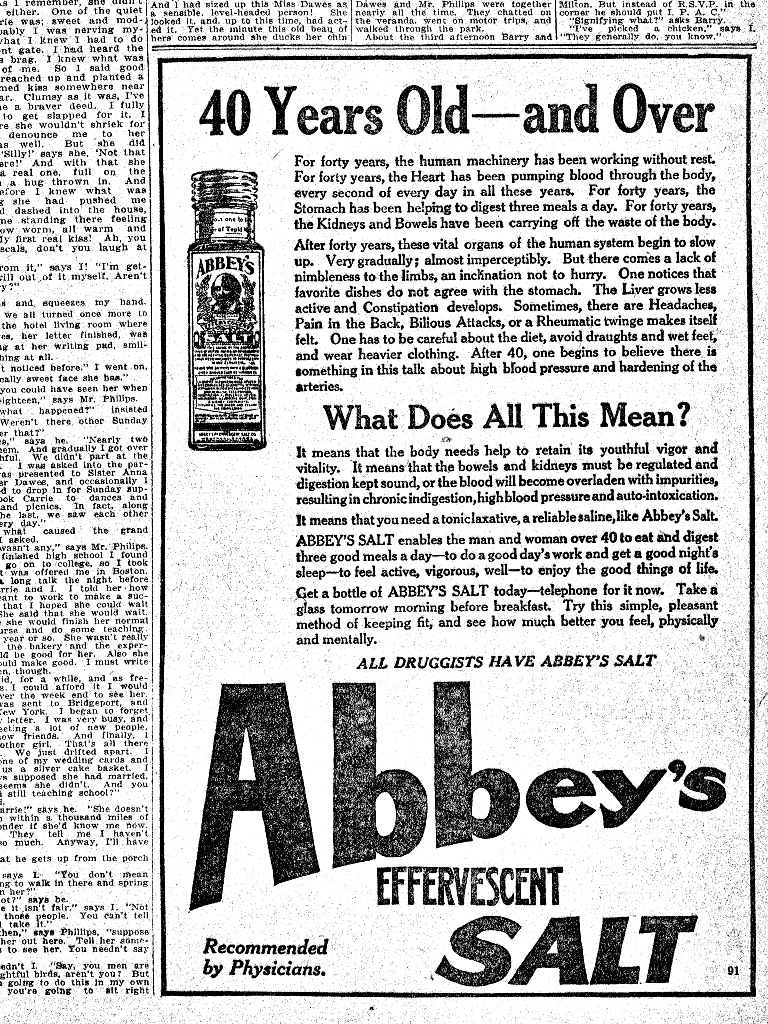
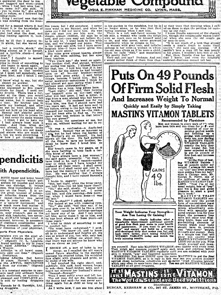
Besides, perhaps their physical ailments were related to the introduction of inferior arsenic and strychnine into various products, or perhaps the complete absence of such healthifying ingredients in fake products (shame on the flim-flammers!), but I’m certainly no doctor so we can just go ahead and file that under “speculation”. Moreover, such an analysis fails to take into consideration the countering health benefits provided by certain yeasty tablets which, along with vitamins A, B, C, and calcium, contained only the finest and most refined naturally occurring strychnine.
There are, it must be said, many traditional concepts that we should like to dispense with but that have held through to the modern era due to their enduring aptness. Is it for me to say that they’re wrong?
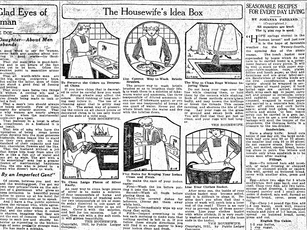
Why, even non-scientific, which is to say artistic, endeavours from bygone years have stood the test of time. Should I claim that my tastes in decorative motifs are the sole and correct ones?
It’s precisely for these reasons that one should occasionally glance to the past and say, “Gee whiz, that sure was something.”


